Buenos Aires is located at the same southern latitude as Los Angeles California,is in north latitude, so it was summer in December, 2005.
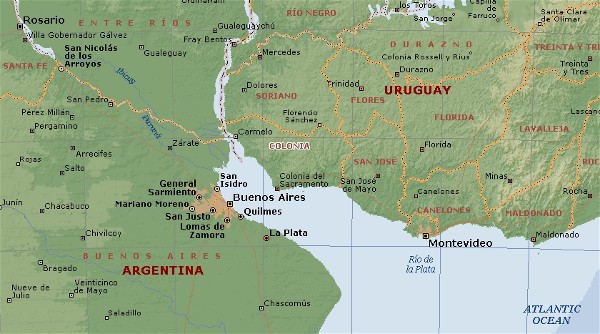
Location of Buenos Aires along the Plata River
landmark - the Obelisk. Price per night for a single room with private bath was $35 US. I stayed at the Hotel Frossard.
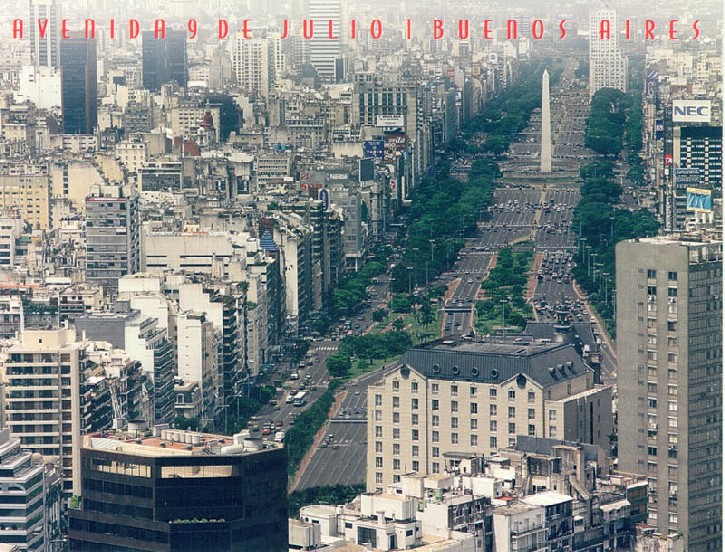
As a transportation planner, I was interested in seeing "the world's widest street". The official name was "Avenida 9 de Julio", and it was only a short walk away from my hotel. I counted nine lanes of traffic in each direction, plus extra space for trees in the boulevard. In the center of the street was "The Obelisk", constructed in 1936 to celebrate the 400th anniversary of the founding of Buenos Aires. It looks very similar in shape to the United State's Washington Monument. The total height is 67 meters and the base is 49 square meters.
I was disappointed in my first visit to The Obelisk and had to return back a few days later to the monument to take my "classic tourist photo". Because during my first trip there, it was disguised like this.
LIVE WEBCAM of Avenida 9 de Julio showing the famous Obelisk monument. (
City government webcams of the city center Buenos Aires streets
My first sightseeing trip was to see the famous Recolleta Cemetary, where Argentina's most famous people are buried. The family plots comprise some of the most expensive real estate in the whole city. Most graves have huge above-ground stone monuments and the coffins are stored in below-ground vaults that are as deep as 10 meters. I arrived just in time to take a free, English language-based tour of the cemetery. The tour lasted two hours and also served as a brief history lesson on Argentina, since many of the historical figures were buried here. The most visited grave by far was that of Evita Perrone, the Argentina president's wife during the 1930s.
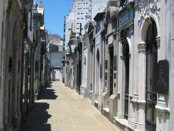
"Street" in the Recolleta Cemetery
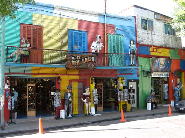
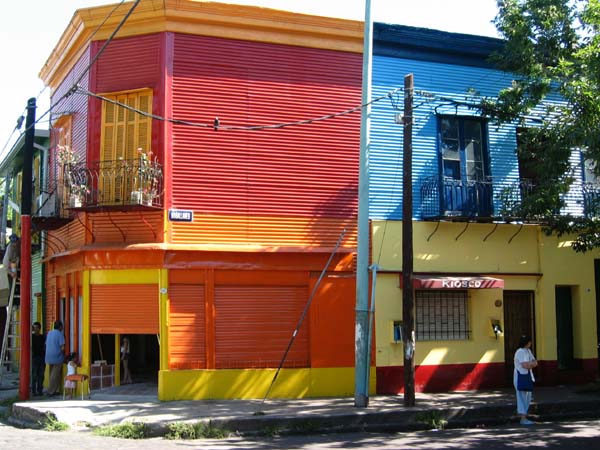
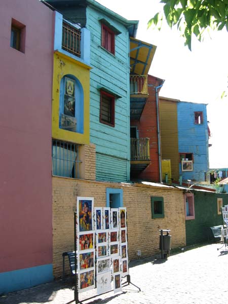
This neighborhood is located in the south part of the central city, next to the waterfront. Like many other parts of Buenos Aires, it was primarily settled by Italian immigrants in the 1800s who worked in the nearby docks exporting beef. La Boca's story is that the dock workers would bring home the extra paint from the docks to paint their homes, but the number of available colors was very limited. The neighborhood took on this character of buildings painted only in primary colors, and this characteristic has grown to accommodate the many tourists who flock to this unique neighborhood.
